Sunday August 1, 1999
Leaving home at a little before 9AM (two hours later than intended), I followed the same route I had four weeks earlier. Up over Garoutte, left onto Shoreview Drive, and onto Row River Road just past Dorena Lake. As I entered the forest in the Brice Creek valley, the clouds began to clear. Climbing up the grade on road 2213, the temperature was already in the upper 70's (F). In those four summer weeks since I had last been this way, the two feet of snow on the connector road (744) from road 5850 had totally melted.
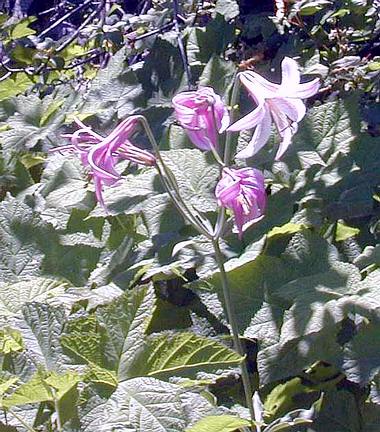
Turning right onto road 767, I was greeted by a few Avalanche lilies. The Noonday Ridge Road no longer had a three foot thick bank of snow along its side. And it was dry!
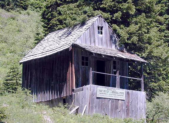
I stopped for a while at Bohemia City. There's not much there except for rusted steel and rotting wooden planks and beams. There is, however, a reconstructed Post Office and General Store. I circled the lodge (back by the main road), but didn't stop to explore. Then it was on up to the Bohemia Saddle (~5200 ft), pushing my bike the last quarter mile or so. And then on up Fairview Peak (~5800 ft), again getting off and pushing the last little stretch.
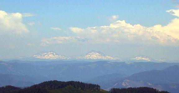
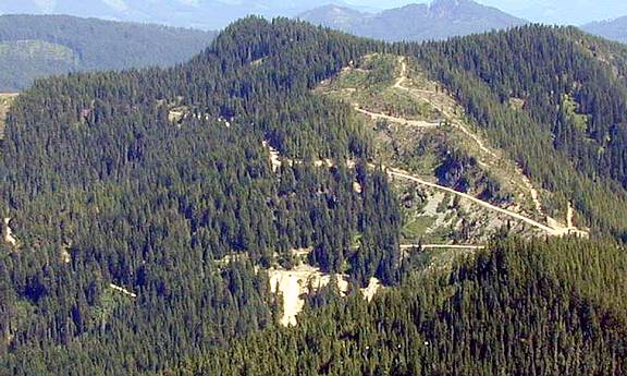
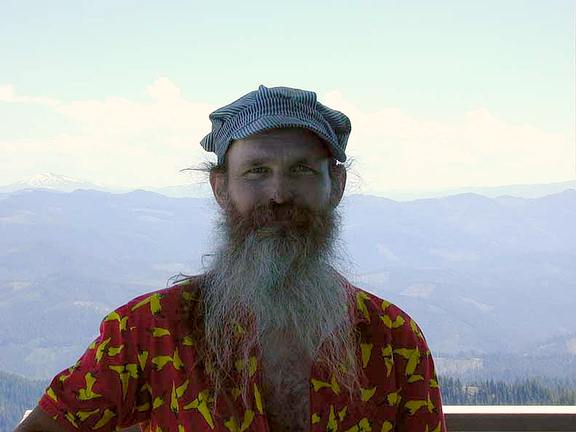
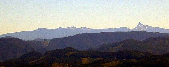
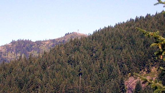
I climbed the tower, and visited with the fellow who watches for fires from there on the weekends. It was pretty hazy that day, but you could still see the Three Sisters off in the distance. To the east is the Champion Saddle. You can see the Noonday Ridge Road dropping down the hill to the saddle. Down below it, you can see the Champion Road snaking down towards Brice Creek.
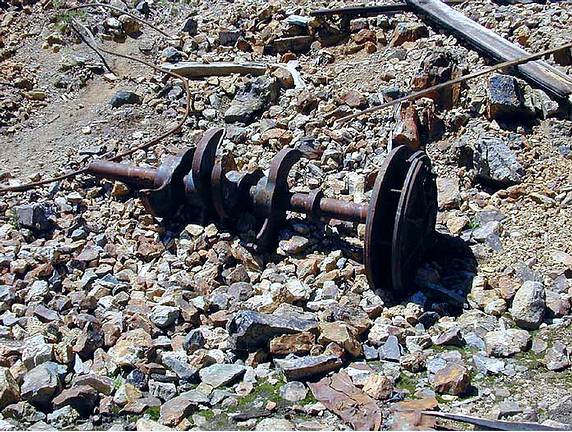
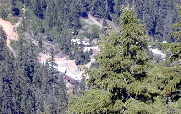
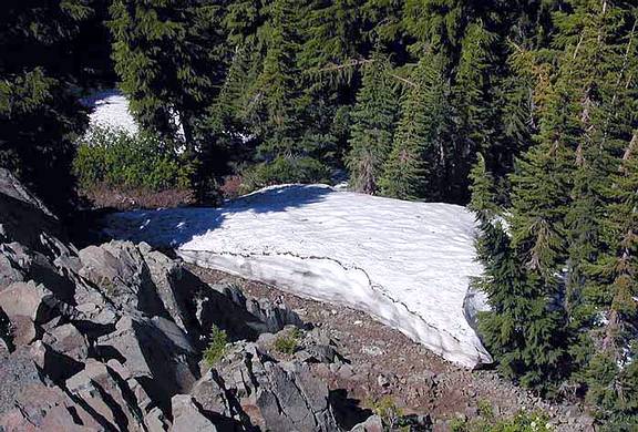
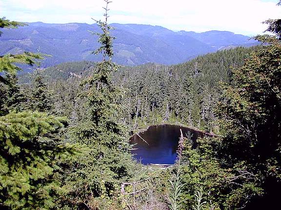
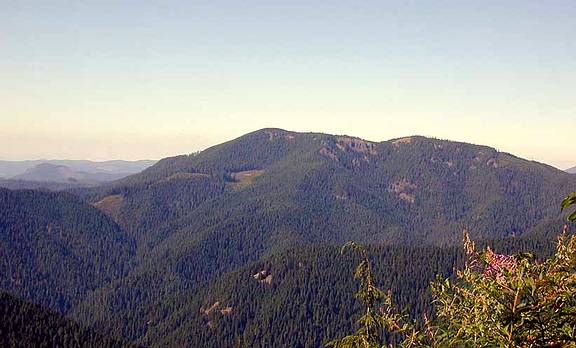
Here's a picture of the perp. Down below, to the north, is an active mine. Also on the north side is a bank of snow.
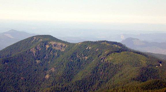
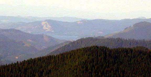
Off to the northwest is Adams Mountain. Just above the hill to the right of the mountain, you can just make out Dorena Lake through the haze. Right beside the lake is Cerro Gordo, with the brown stripe on it.
After going back down to the Bohemia Saddle, I turned onto the Sharps Creek Road. A mile down this road, at the first switchback, I turned right onto the little jeep trail. I slipped my bike between the bars of the gate, and rode several miles to the Knott Trail. This trail goes up over Adams Mountain, and ends at road 2241. I rode and pushed on for about a mile and a half to Marten Spring. Alas, my memory of this area from six years ago is much nicer than the actuality of it. The trees are much more grand in my memory. Still, it's a nice little grove.
From there I took the shortcut to the end of road 2241, bypassing Adams Mountain. Down below is Crawfish Lake, and beyound is the Brice Creek Valley. After several miles, the road meets the other end of the Knott trail. From there road 2241 drops, in six miles, to the Brice Creek road. The road surface on this stretch is not very good for biking. It's mainly loose sand and gravel, not making for very good traction.
The ride took about nine and a half hours. I rode about 75 miles, (28 miles of unpaved roads and trails), and climbed almost 7000 feet. I had one flat (climbling on road 767 towards the Noonday Ridge Road).
Monday, September 6, 1999
I got a little earlier start this day: about 8:15AM. This time I followed Road 22 (Brice Creek Road) all the way up to Road 5850. I turned right onto this road, looping around the back side of Grass Mountain. Then another right onto Road 745, joining back up with Road 2213, the road I took August 1st. From there I used the same route to Fairview Peak as before, though without the side trip to Bohemia City.
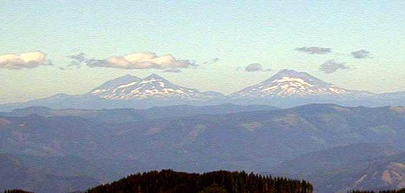
It wasn't quite as hazy this day as before. Here's another shot of Sisters. Pretty much due east is Diamond Peak. And rather south of east is Mt. Thielsen.
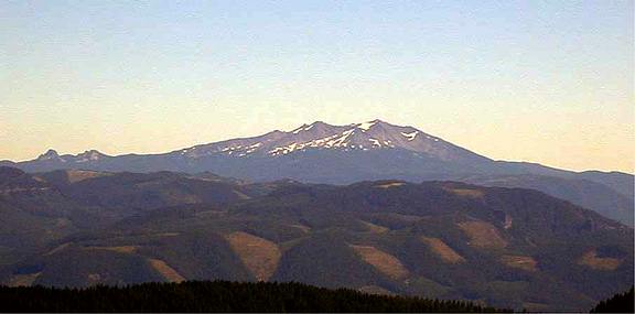
To return, I took County Road 2460 (Sharps Creek Road) down from the Bohemia Saddle, to Road 2358. This road took me to the Shane Saddle. Just past this saddle I followed the sign to Cottage Grove, turning right onto Road 2328. Here's a view of Dorena Lake from this road, with Cerro Gordo looming over it. And a view of where I had been, Fairview Peak. To the north is Adams Mountain.
I followed Road 2328 to Road 23, to Clark Creek Road, and onto the paved part of Sharps Creek Road. 82 miles (31 unpaved), 8000 feet of climbing, and one pinch flat.
Last modified: September 15, 2001
Wayne Deeter - wrd@deetour.net