I've done this loop once before, but using the stretch of I5 between Oakland and Rice Hill. Last year I drove the Goodrich Highway in order to find a way to use it. Ahhh ... much better!
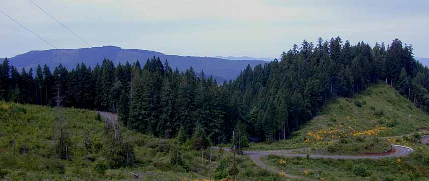
I rode out of Cottage Grove on London Rd, past the Cottage Grove Lake, to London. There I turned right onto the Shoestring Rd. This road had some bad washouts in clearcut areas a couple of years ago, but they have been repaired, and it is now in good condition. The London side of the hill has about a 6% grade for about two and a half miles. The other side is about the same, but one mile of it is unpaved.
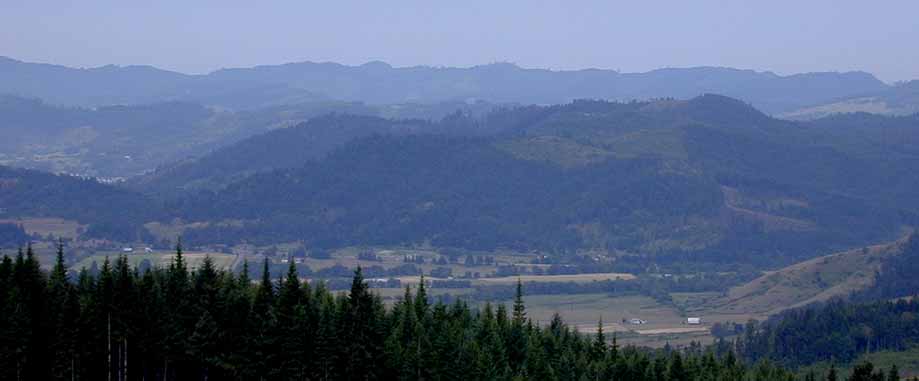
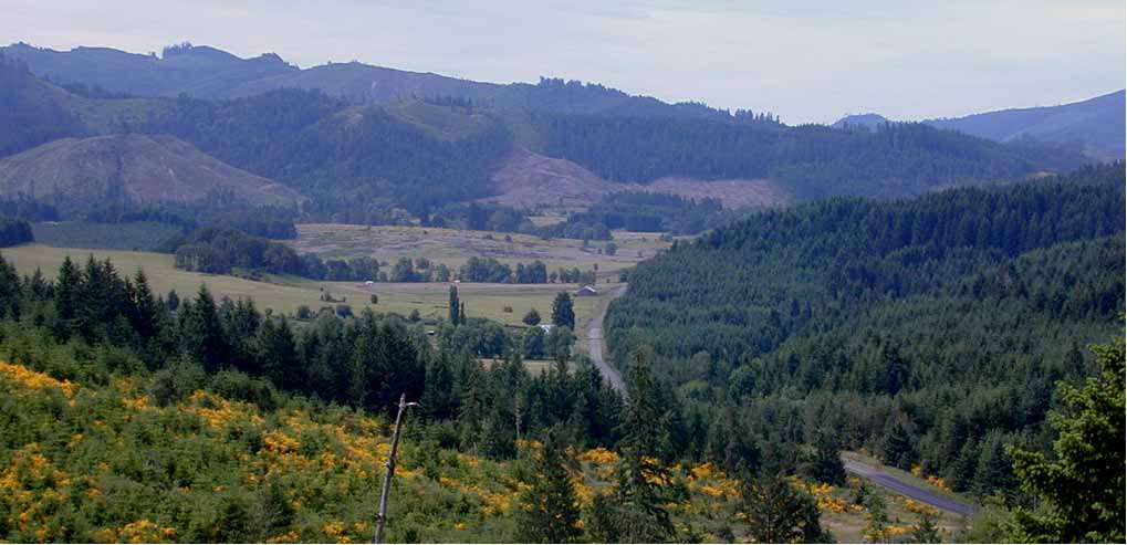
Just over the top of the hill the Shoestring valley comes into view. Down below you can see the twisty road on the Lane County side. The pavement ends at the Douglas County line. Here's another view of the Shoestring valley.
At the bottom of the hill, the road tees. Turning right takes you through the Scotts valley. I turned left into the Shoestring valley. Much of the five miles of road through the valley are still unpaved. Last year, when I went the other way on my Idleyld Park loop ride, it seemed as though the road had been oiled. Didn't seem that way this year, but it wasn't bad.
When I reached the Elkhead road, I turned left, towards Elkhead. Forty miles from home, I arrived in Oakland. I stopped in the little park just off of Locust St. to eat lunch and refill a water bottle.
I took Hwy 99 north out of Oakland. Just across the one lane bridge over the RR tracks and a river, I turned left. This road goes up a steep hill then, after about a mile, crosses I5. About two miles later I turned right (north) onto Green Valley Road. Then about three miles or so later, another right onto Metz Hill Road. After about three more miles, it crosses back over to the east side of I5, and runs into the Goodrich Highway. This road leaves the freeway behind, winds up through a little valley, and climbs up over a rather steepish hill. It then drops back down and runs into 99 at Rice Hill. From there I went back over the freeway, through Yoncolla to Drain.
At Drain I stopped at the city park where I ate a little snack, and again refilled a water bottle. This park is a bit hard to find. It's way back off from the main road, and behind the RR tracks. I found a shortcut to it, crossing the creek on a pedestrian bridge. By this time it was midafternoon. The traffic was pretty heavy on the stretch of 99 from Drain to Curtin. Quite a contrast from the quiet ride through the Shoestring valley!
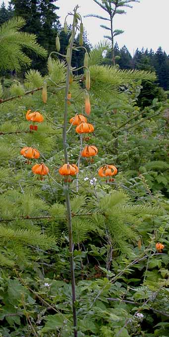
In Curtin I picked up the Territorial Road to Lorane. Just over the top of the hill I saw one of the first tigerlilies of the year. Climbing up the final big hill, from Lorane to Cottage Grove, I noticed that there were still a lot of the purple irises still in bloom. By this time they were pretty much all bloomed out around my place. It started to sprinkel just a bit as I came down the last hill, just before Cottage Grove.
99 miles, and over 5000 feet of climbing in just under eight hours including stops.
Last Modified April 28, 2002