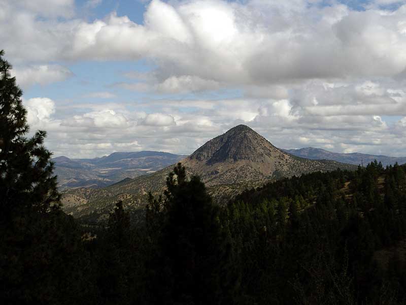
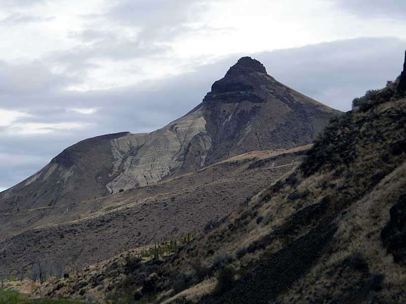
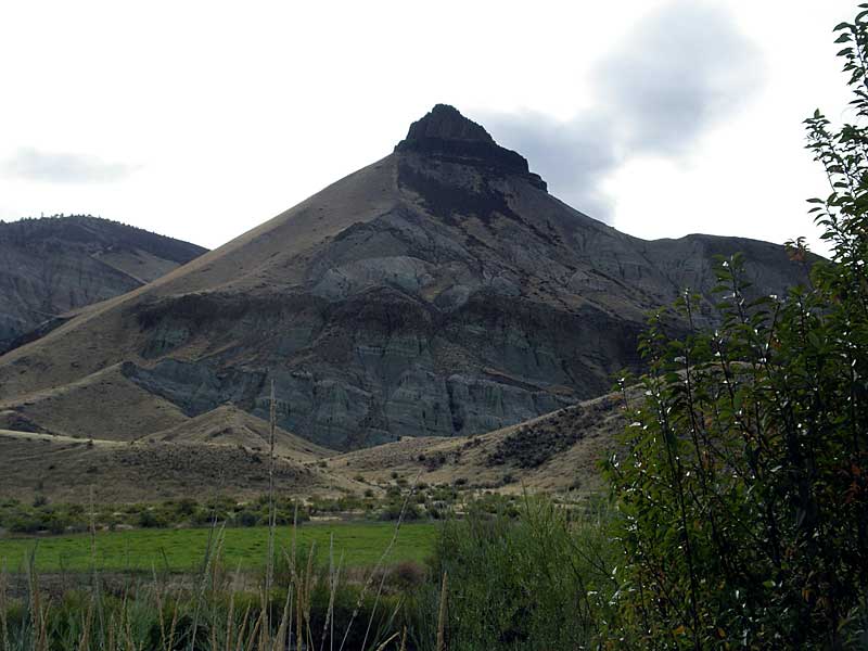
White Butte?
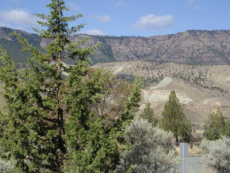
Was raining in Madras Sunday night and sprinkled a bit on the drive home Wednesday afternoon, but stayed dry for the entire ride. Left Madras Monday morning about half an hour before sunrise. Headed south out of town on Adams Drive to Hwy 26. Rode throught grasslands to Prineville for a second breakfast, then continued east over the Ochoco Divide. Took a side trip down Bridge Creek to the Painted Hills Unit. Stayed Monday night at the Skyhook Motel in Mitchell. 92 mi., 4300 ft.
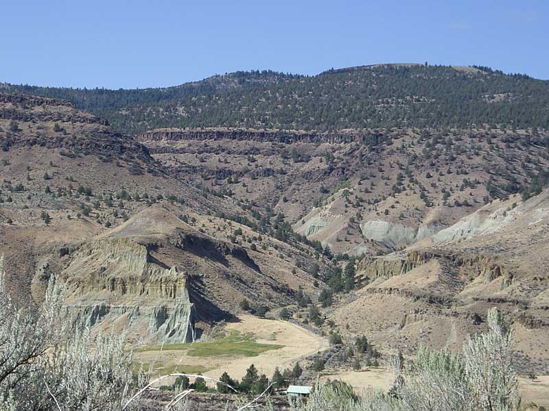
Got another early start—before sunrise again. Climbed up over Keyes Creek summit, then descended to the John Day River at Picture Gorge. Visited museum at the Cant Ranch at the Sheep Rock Unit—had visited the Condon Center several weeks before. Continued down the John Day through Kimberly, Spray and Service Creek, then up over Butte Creek Summit and down to Fossil for the night. 94 mi., 3800 ft.
Had another before-sunrise start for the final day. Headed sout out of Fossil on Hwy 218 in mid-30s temps. Passed by the Clarno Unit, then up over the hill to Antelope. Took Hwy 293 out of Antelope to US 97, then back to Madras. 66 mi., 5200 ft.
White Butte?
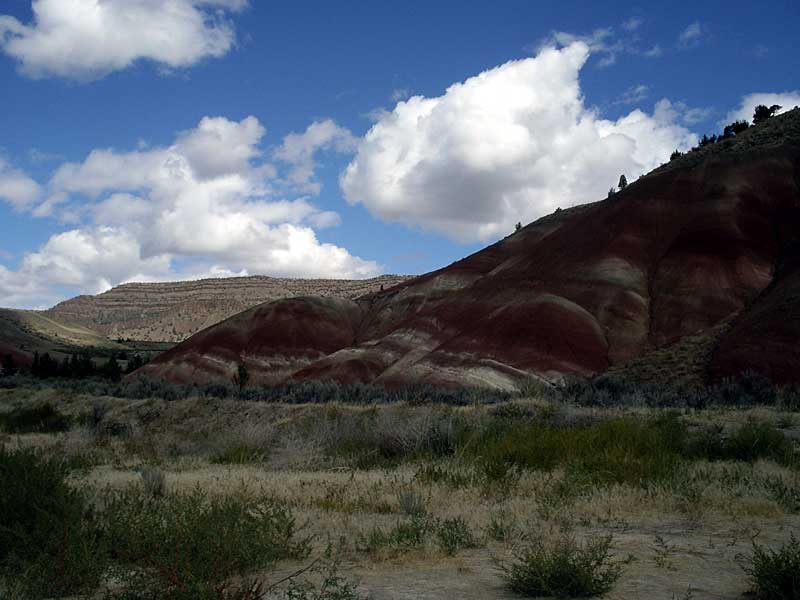
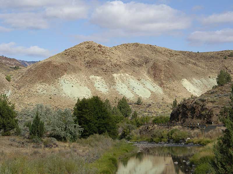
Painted Hills aren’t confined to the Unit
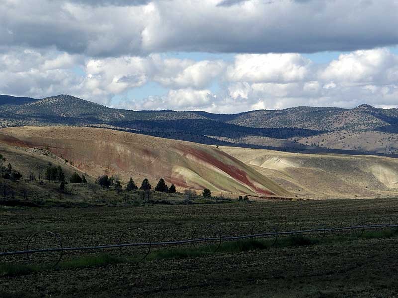
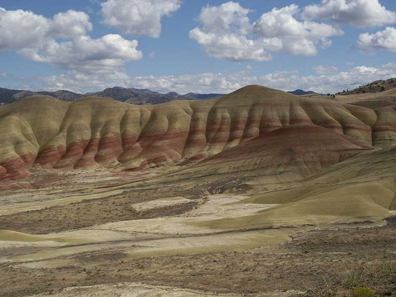
Painted Hills across field
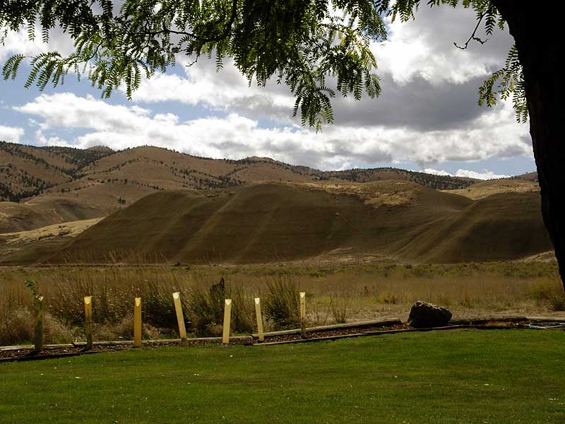
Under the Honeylocust: view from the Painted Hills Visitors’ Center
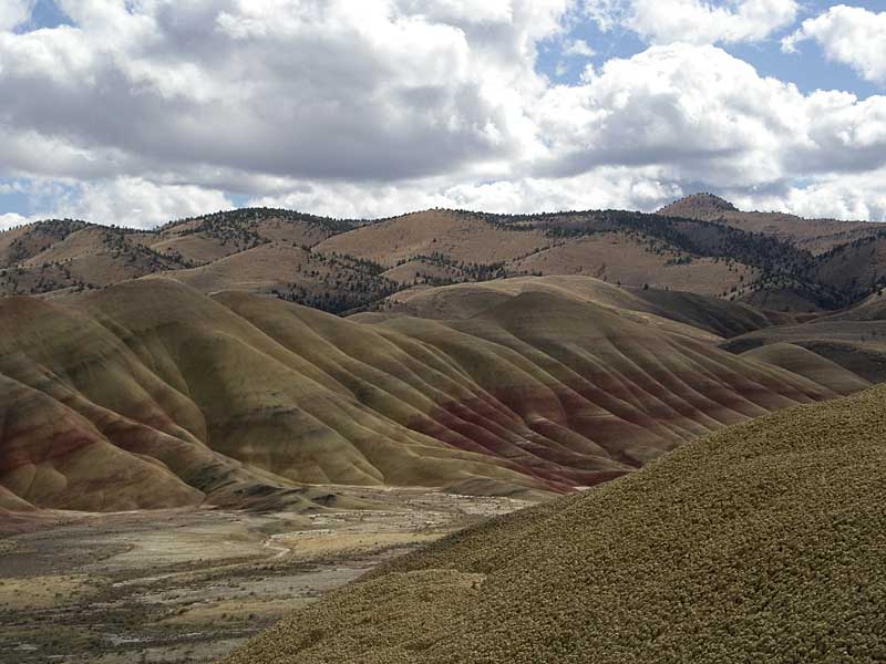
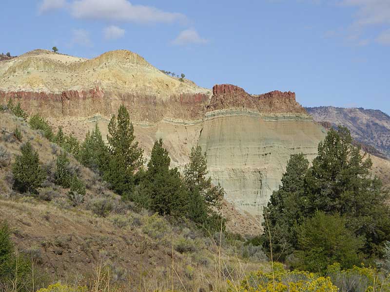
Painted Hills from the viewpoint
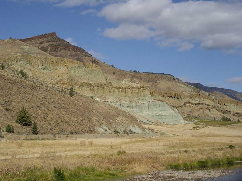
and back down the road a bit
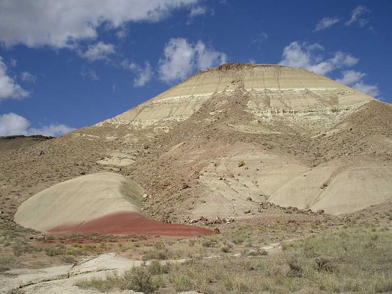
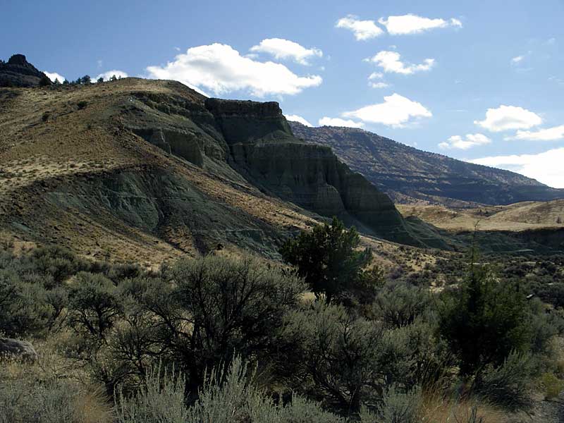
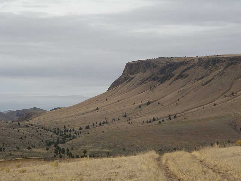
Hill to the north
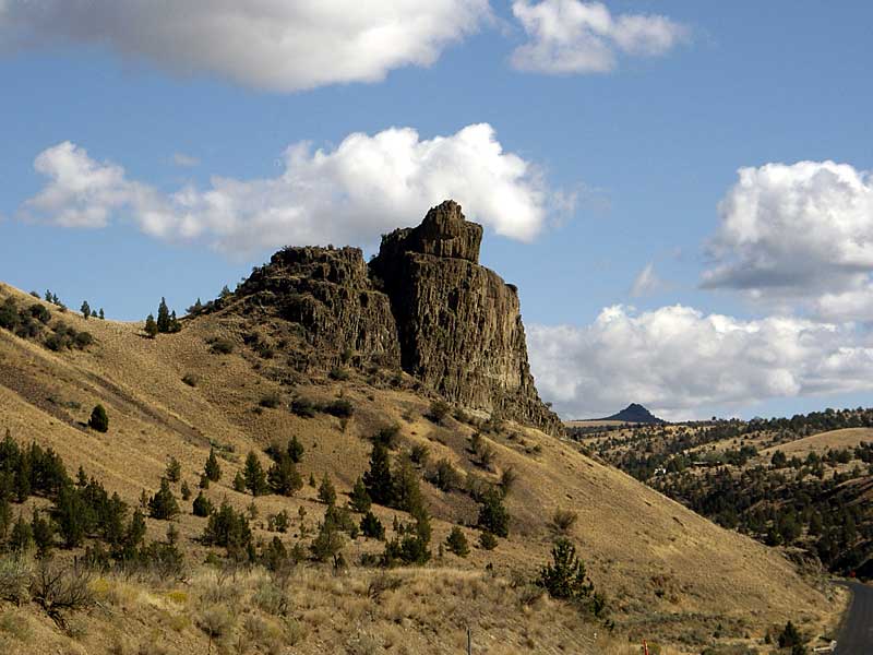
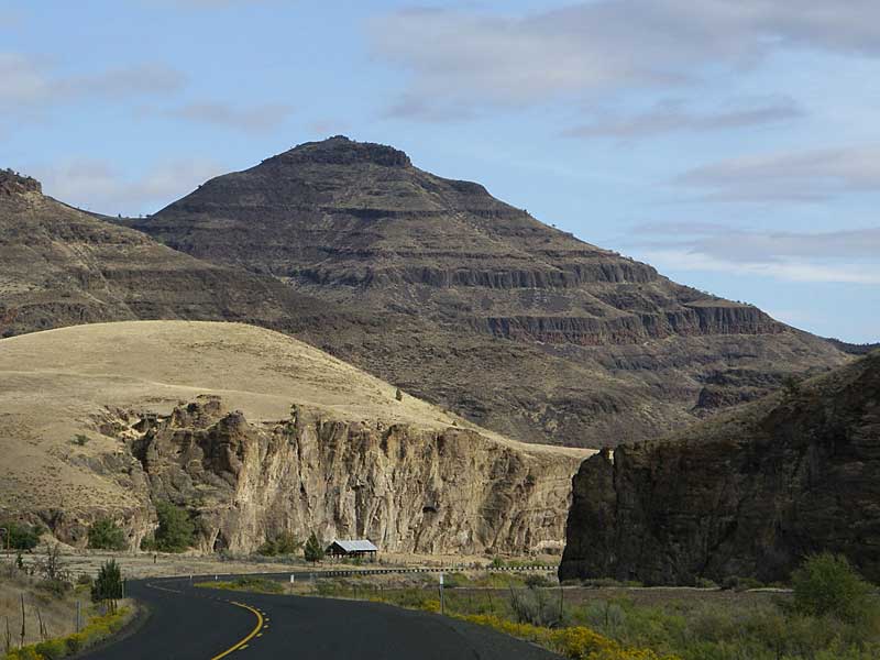
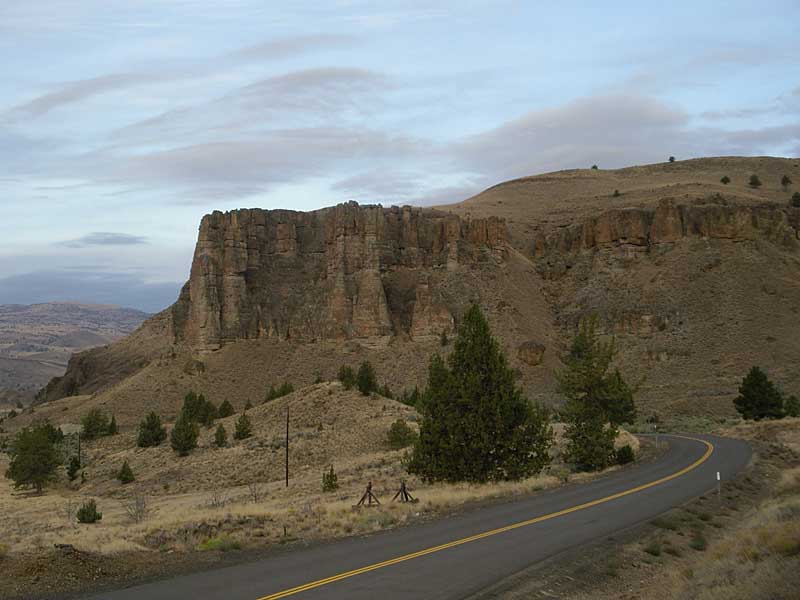
Crag above road on the way to Mitchell
Sheep Rock from JCT US 26 and Hwy 19
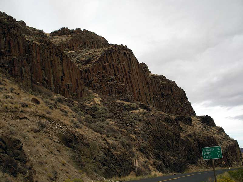
Basalt columns above Hwy 19
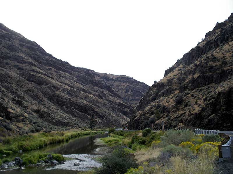
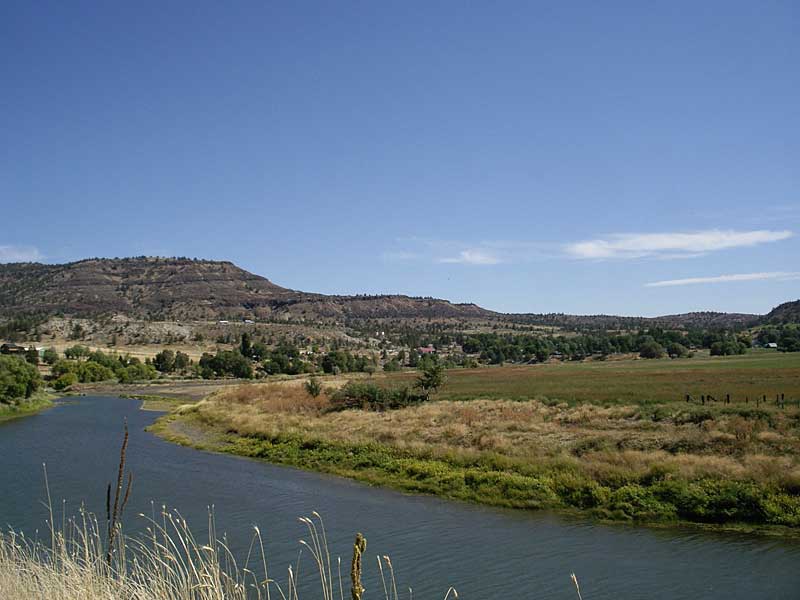
John Day River by US 26
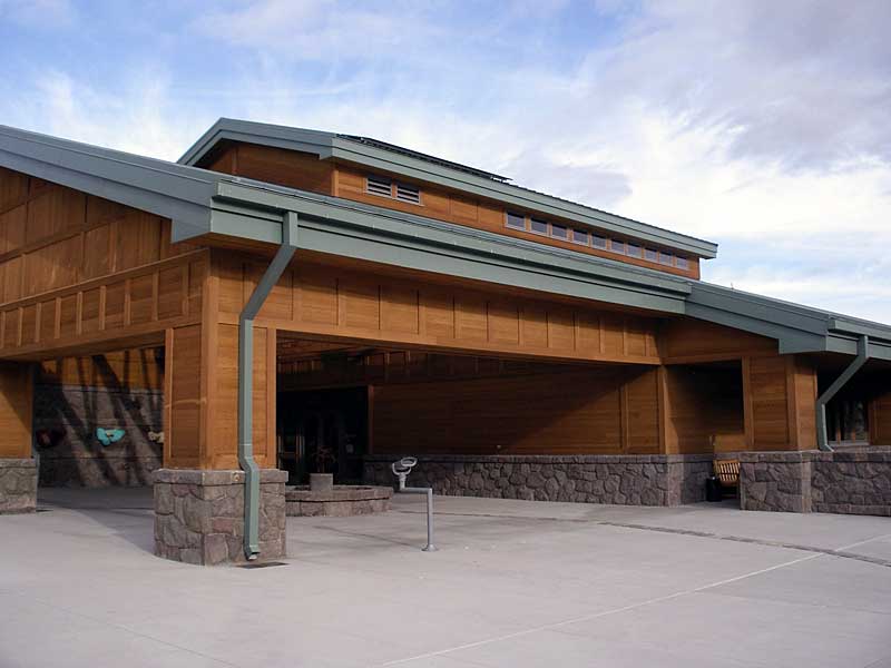
Thomas Condon Center
Sheep Rock from river on the Cant Ranch
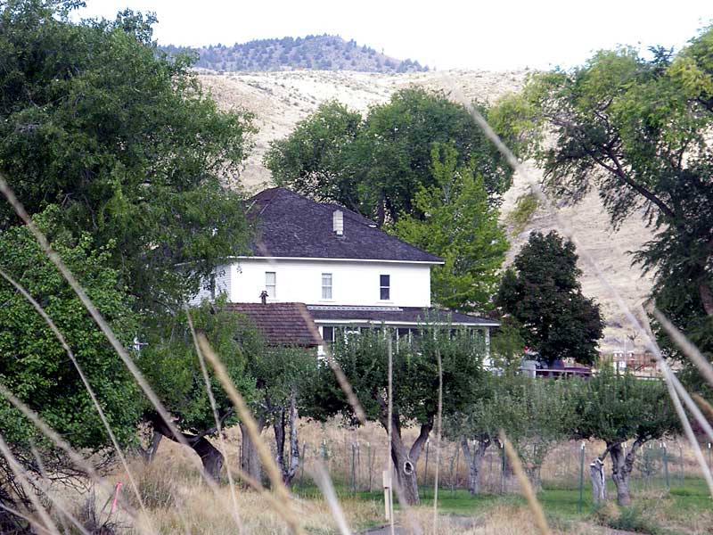
Back side of the Cant Ranch house
Across river from Goose Rock
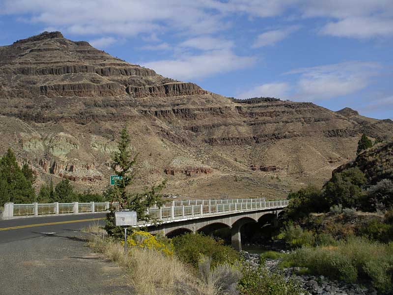
Goose Rock bridge
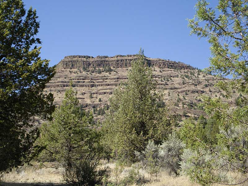
Cathedral Rock
Painted finger other side of river from Foree Area
Cliffs in Foree Area
Across river from Foree picnic area
“Finger” from Foree picnic area
Looking back at Spray
Formations above Muleshoe campground
Palisades at Clarno Unit
Hillside SW of Clarno
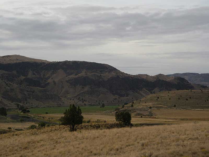
Ag land by the John Day near Clarno
Last modified: September 20, 2007