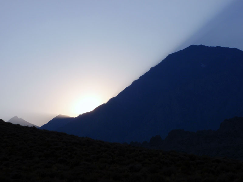
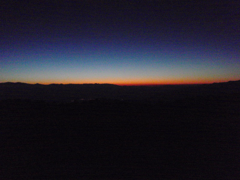
Sun sets behind Mt. Tom
Sun sets behind Mt. Tom
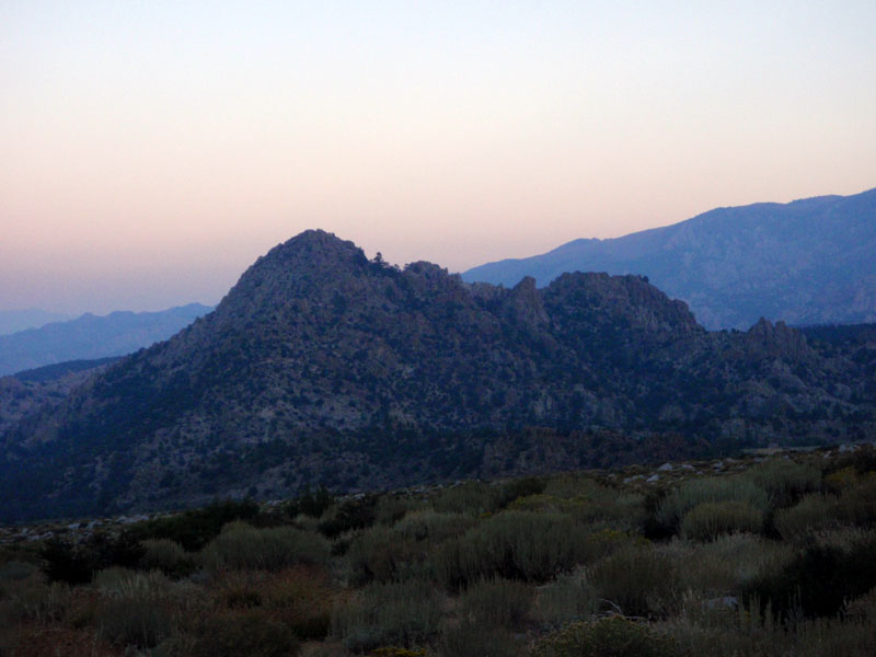
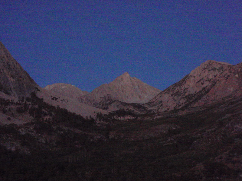
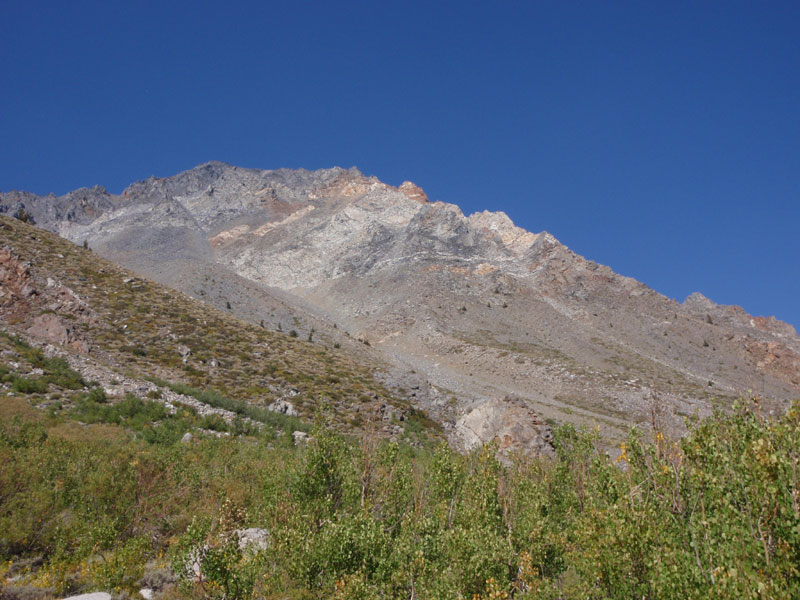
Grouse Mountain
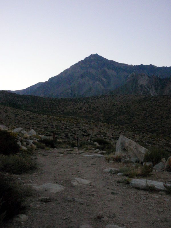
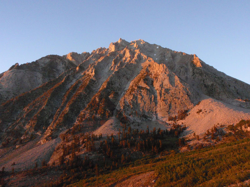
Horton Lake trailhead & Mt. Tom
-
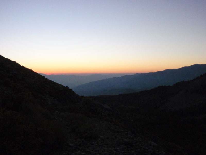
Brightening in the east next morning
Up the valley, just after Jupiter-set
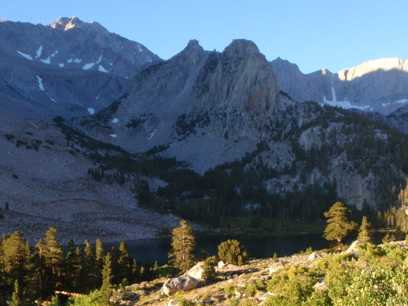
Almost sunrise
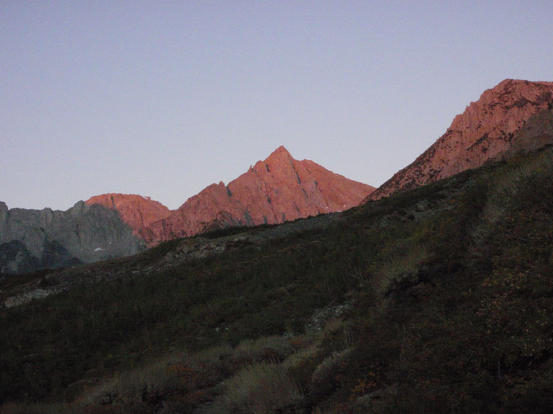
Light on the mountains
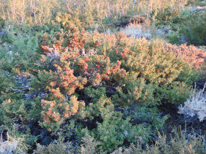
Loaded gooseberry bush—lots of these along the trail
Slopes of Basin Mountain
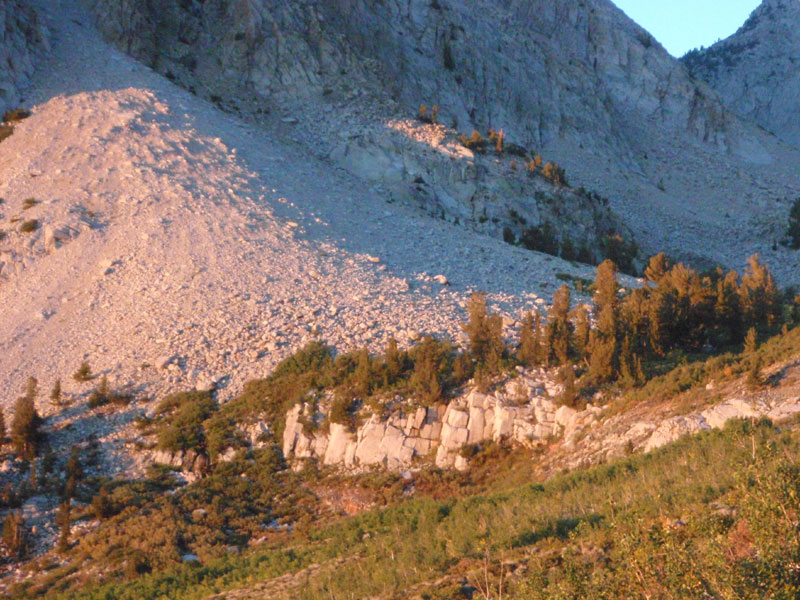
Cliff below Horton Lake
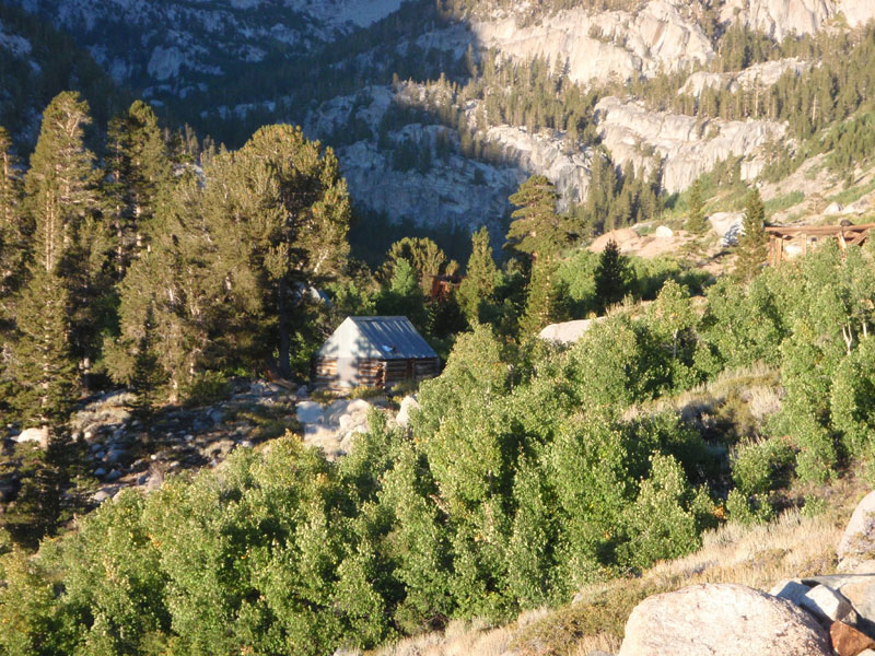
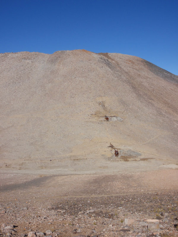
Mine building at Horton Lake
Horton in the shade
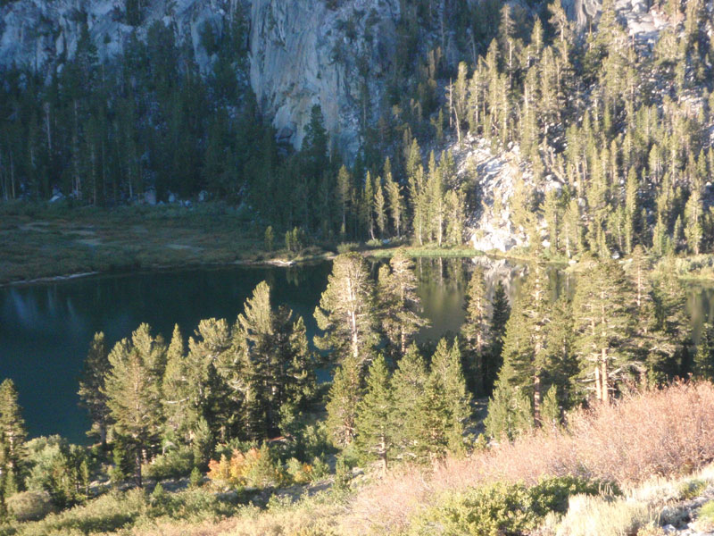
Upper end of Horton Lake
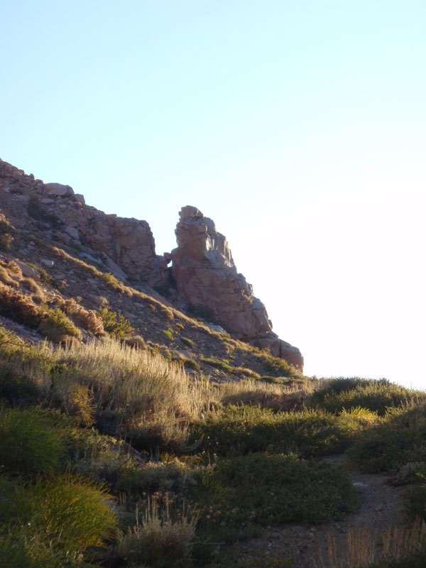
Rock formation above the trail
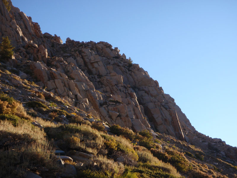
More rock
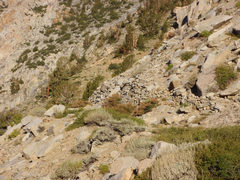
Rock retaining wall. Trail used to be road up to Hanging Valley and Tungstar mines
-
-
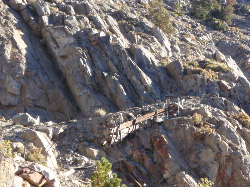
More road structures
Can you see Upper Horton Lake?
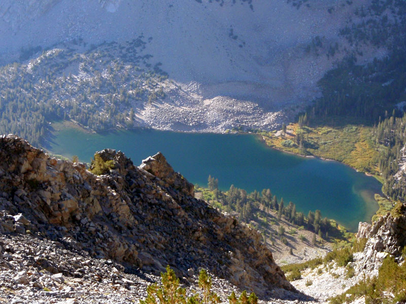
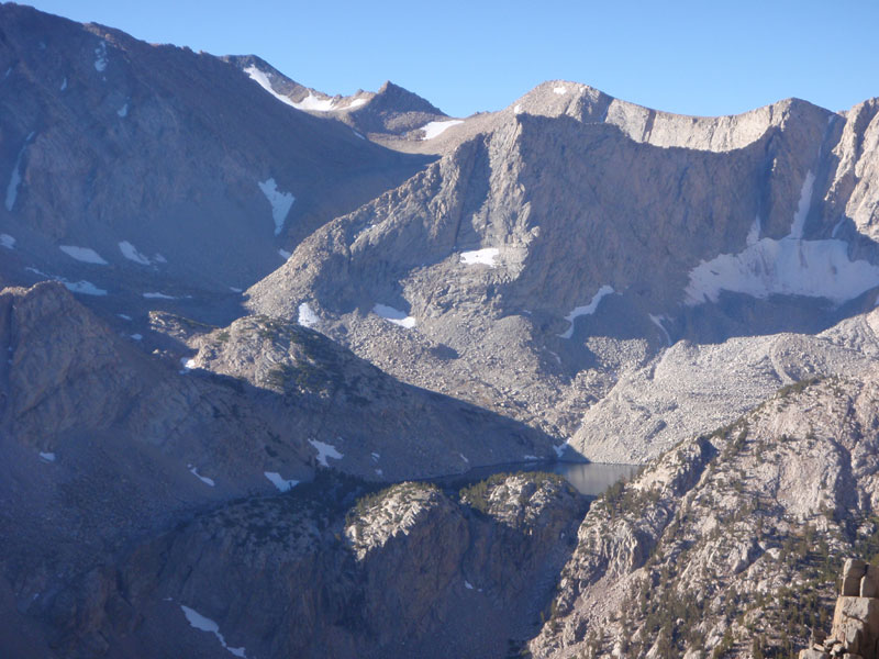
Horton Lake, from above
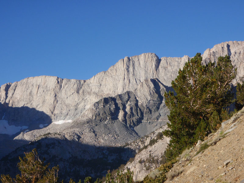
Mt. Tom, from the saddle
Hill on west side of the Hanging Valley
Saddle area
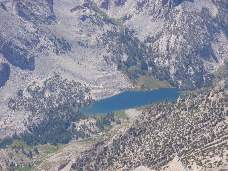
There’s Upper Horton Lake!
Hanging Valley Mine
Lower end of the Hanging Valley
Hanging Valley Mine
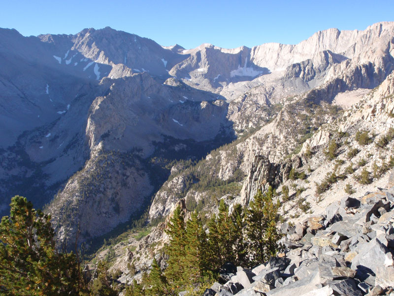
Back down the valley below Horton Lake
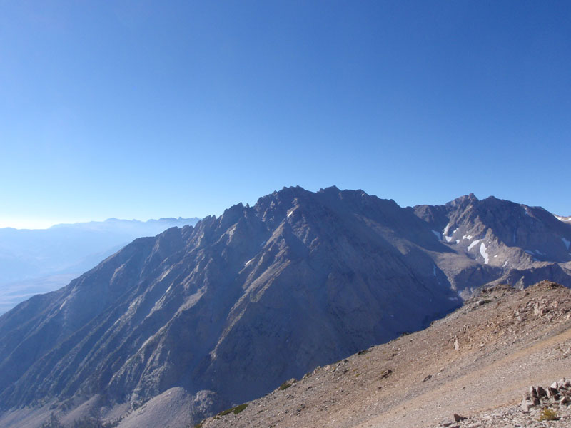
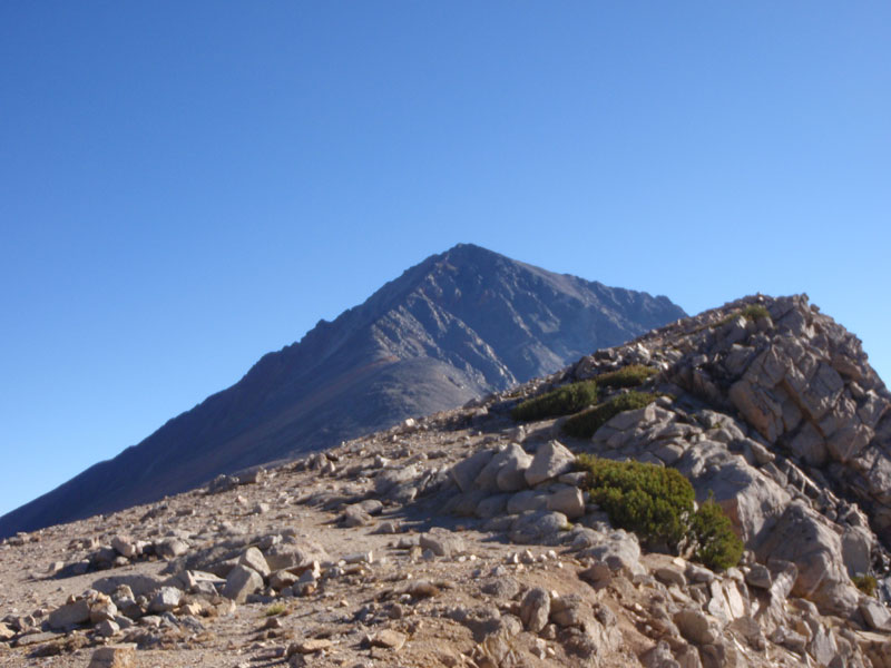
Basin Mountain
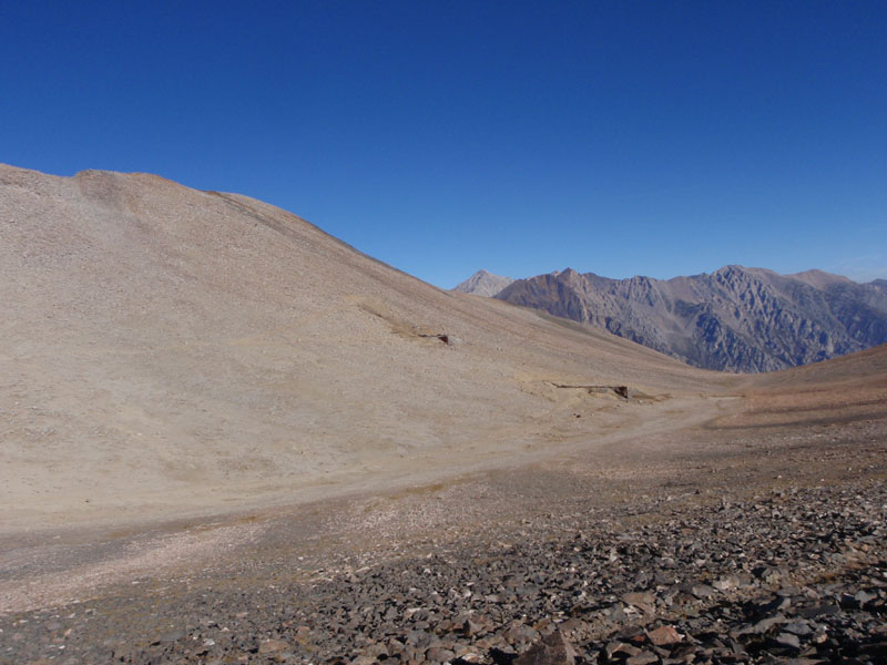
Road to the Tungstar Mine
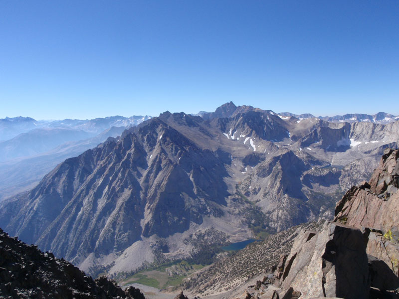
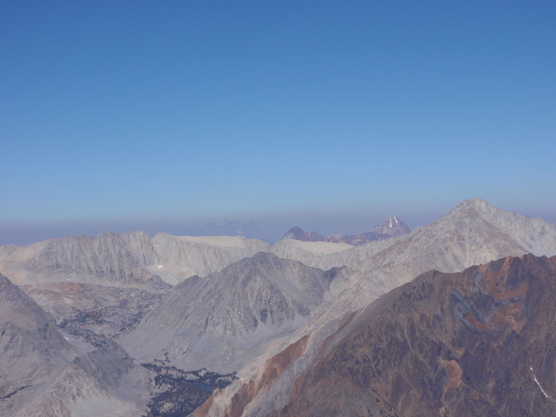
North, to Morgan lakes
Basin Mountain and Horton Lake from near Mt. Tom summit
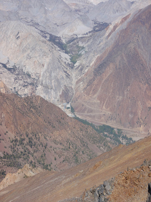
Pine Creek Tungsten Mill
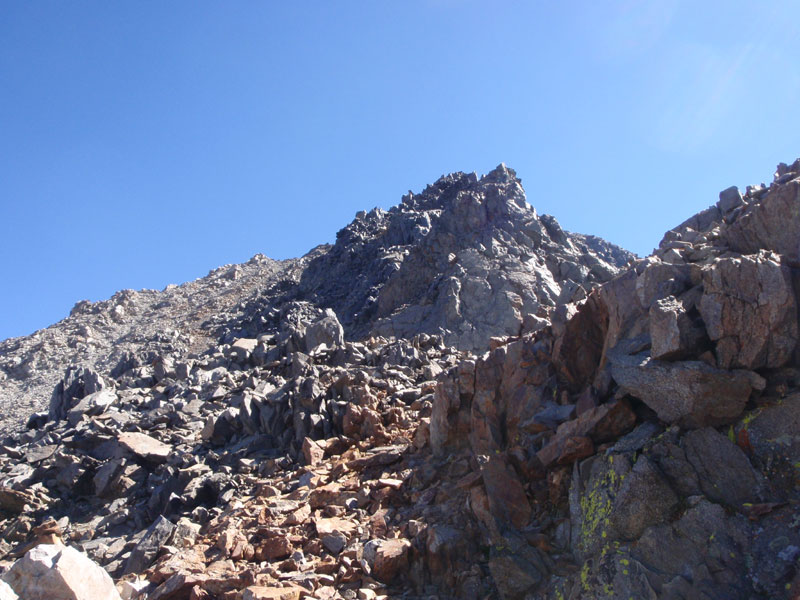
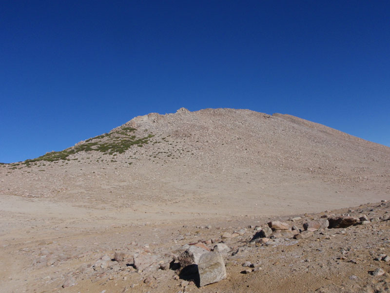
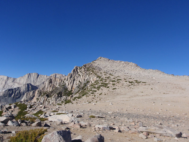
Drats! Yet another false summit!
Hanging Valley, mine, and beyond
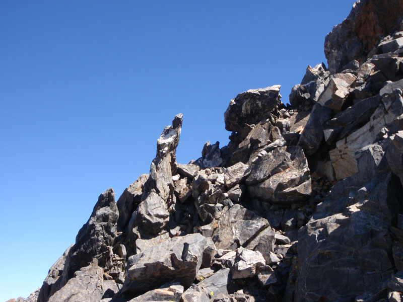
Rock below the summit
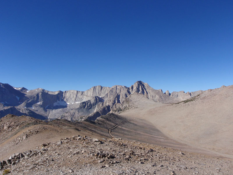
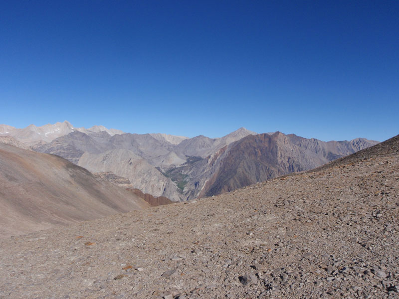
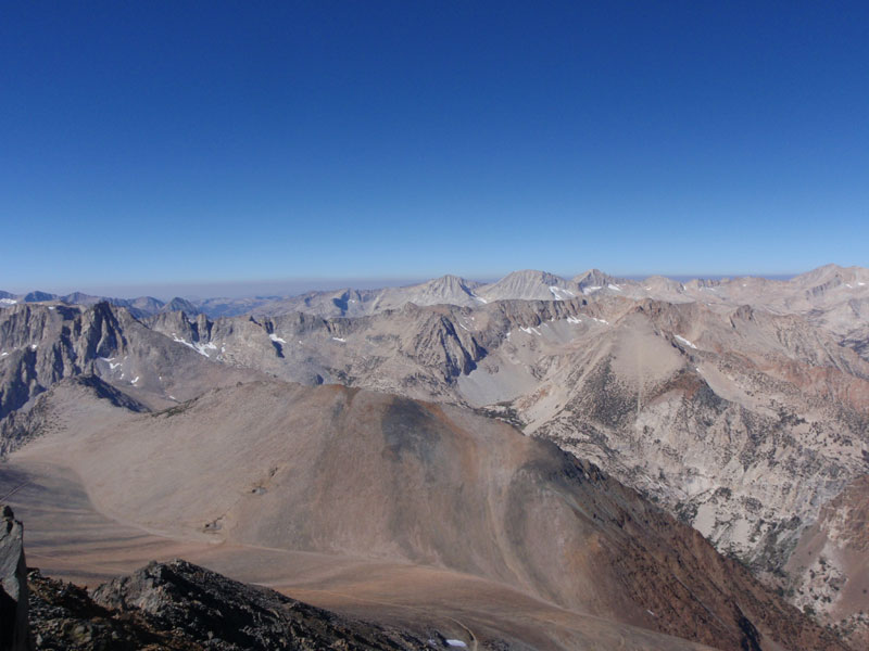
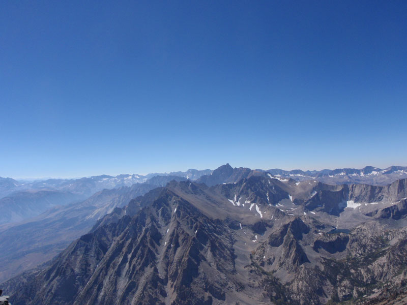
North
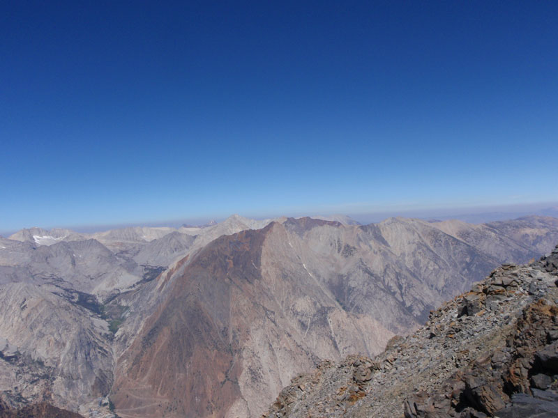
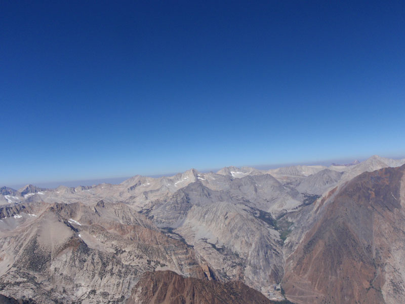
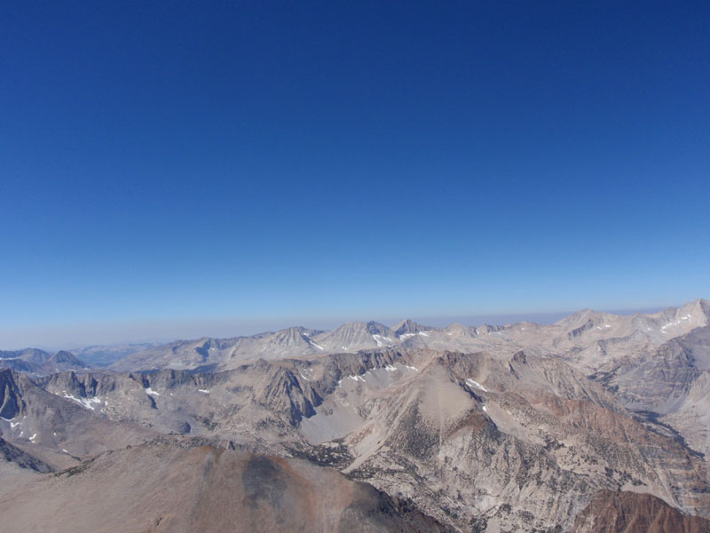
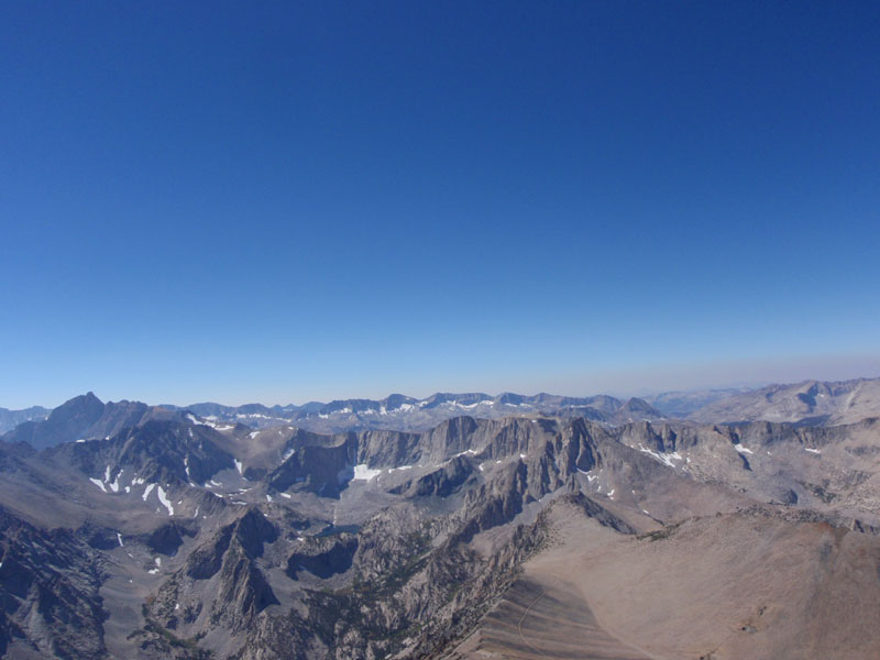
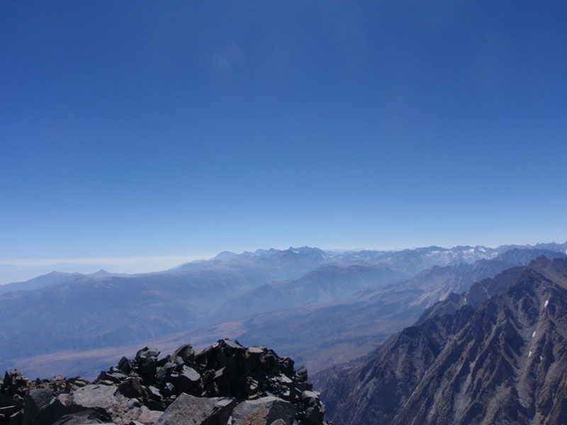
Following are NE to SE pan:
-
-
-
-
-
-
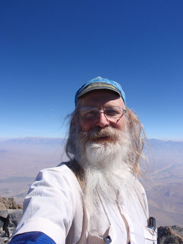
Self-portrait on the summit
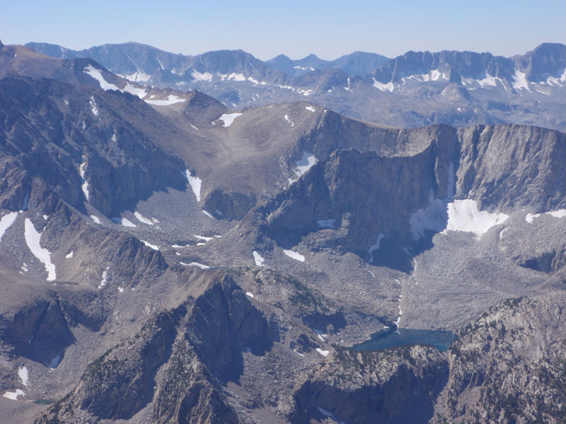
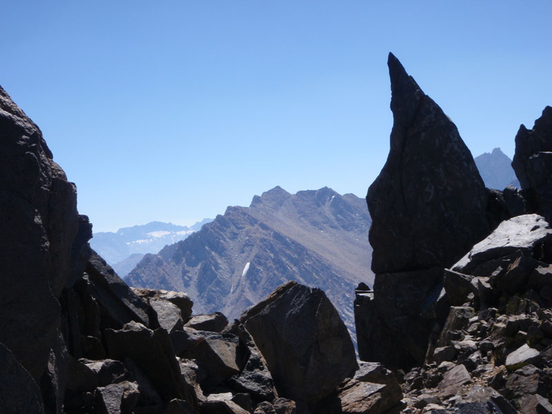
Fin above Upper Horton Lake
Horton Lake
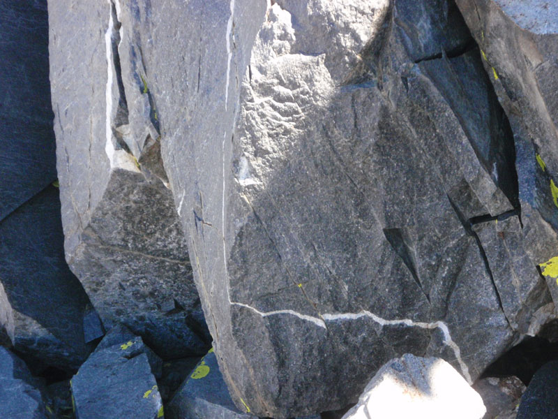
Vein in rock
Basin Mountian
East of Horton Lake
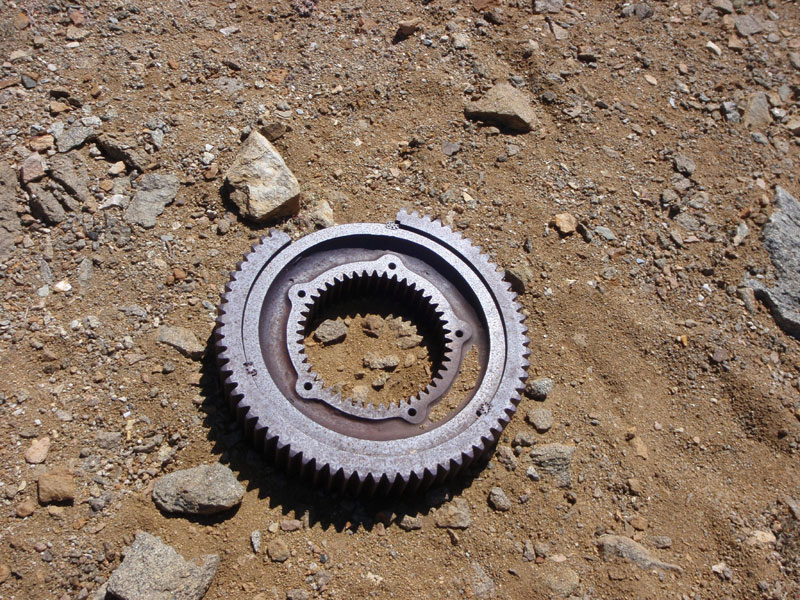
Broken gear at mine site
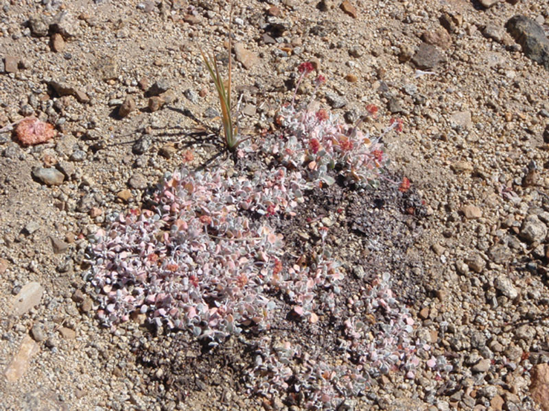
Vegetaion in the Hanging Valley
More
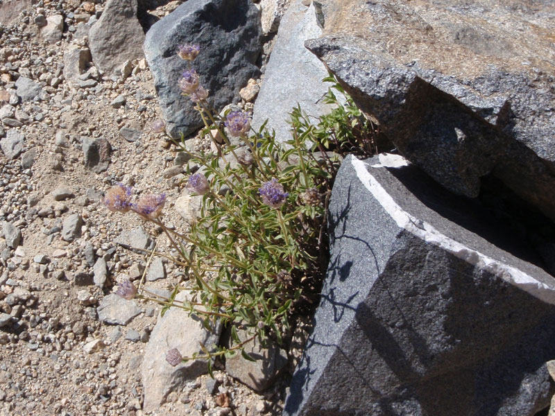
Alongside the trail
South side of Mt. Tom
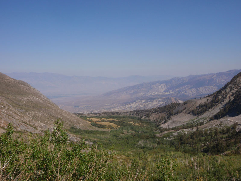
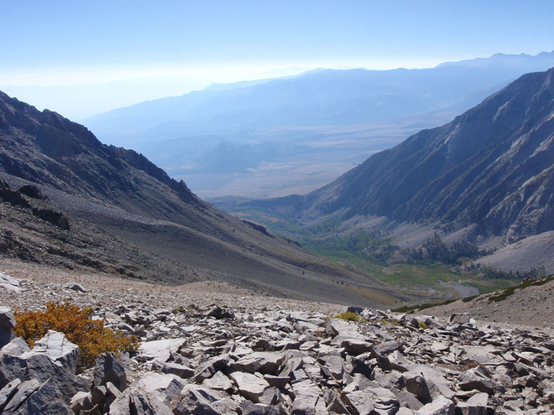
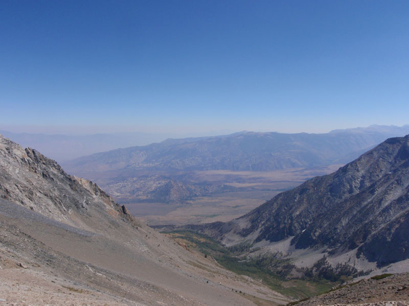
Lower part of Horton Creek valley
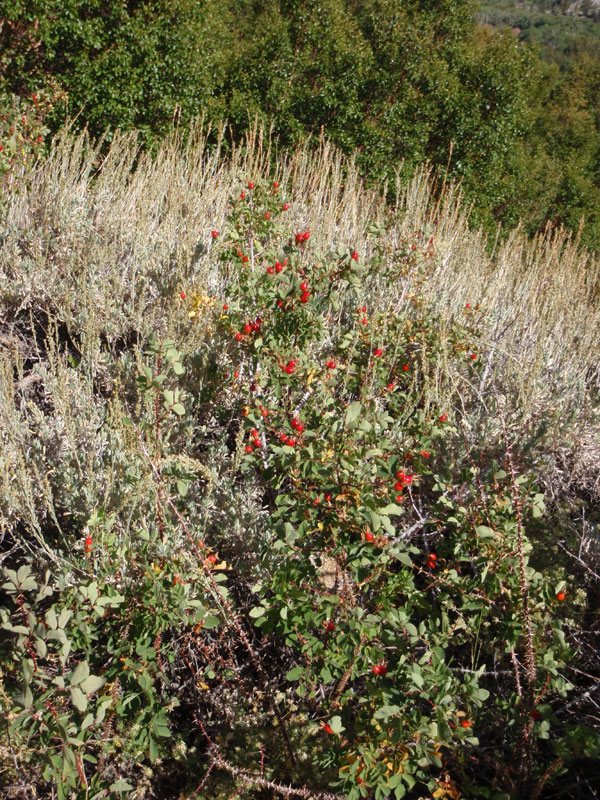
Rose hips
Grouse Mountain, from above
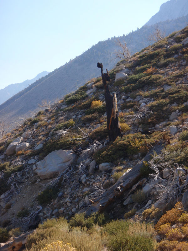
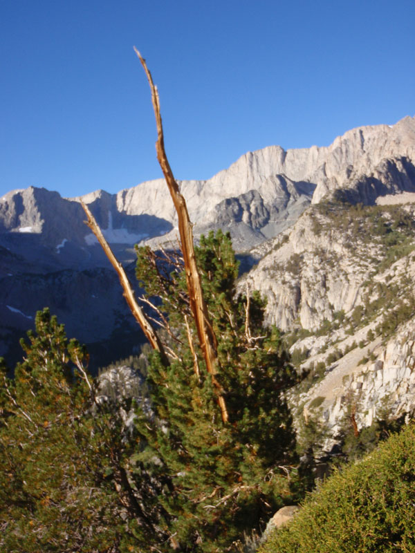
Burned snag
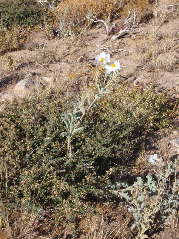
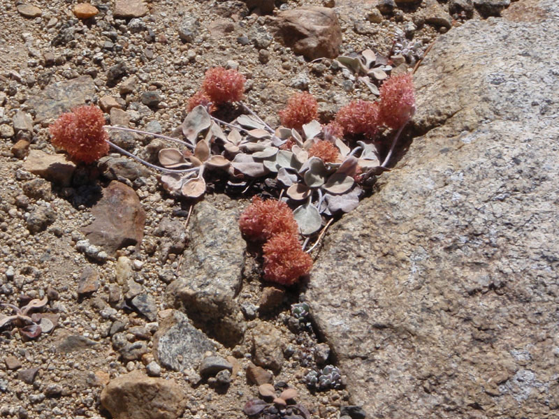
Prickly flower
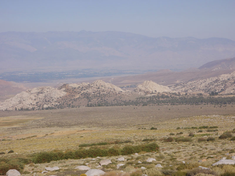
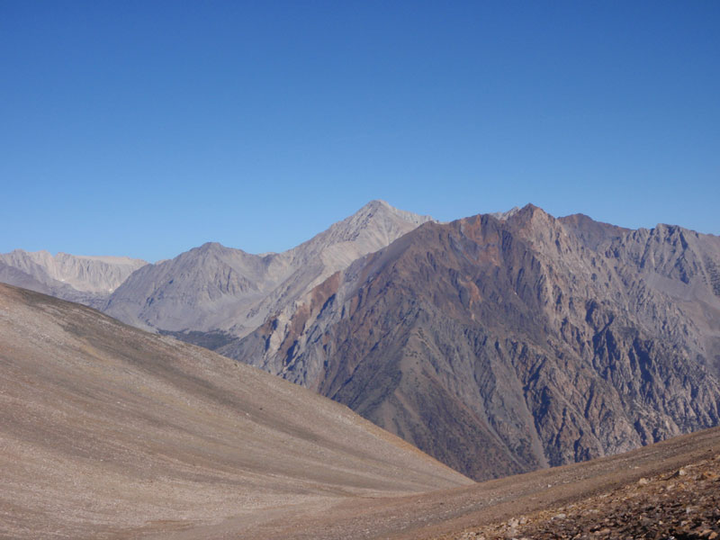
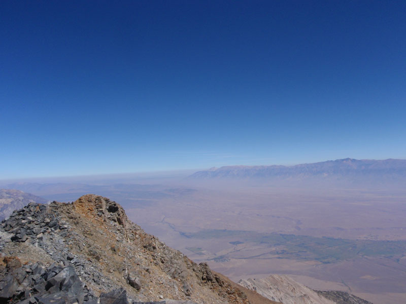
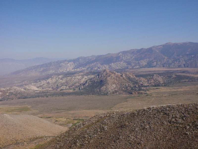
Hills towards Bishop
Last modified: September 24, 2010